GIS (Geographic Information Systems) is transforming public transit by enabling smarter resource management and better service planning. Here's what you need to know:
-
Key Features of GIS:
- Route Optimization: Uses traffic patterns and real-time data to improve transit routes.
- Live Data Integration: Combines real-time inputs like traffic, weather, and road conditions.
- Spatial Analysis: Identifies high-demand areas and service gaps for better resource allocation.
-
AI Enhancements in GIS:
- Predictive Maintenance: AI detects infrastructure issues early, reducing costly repairs.
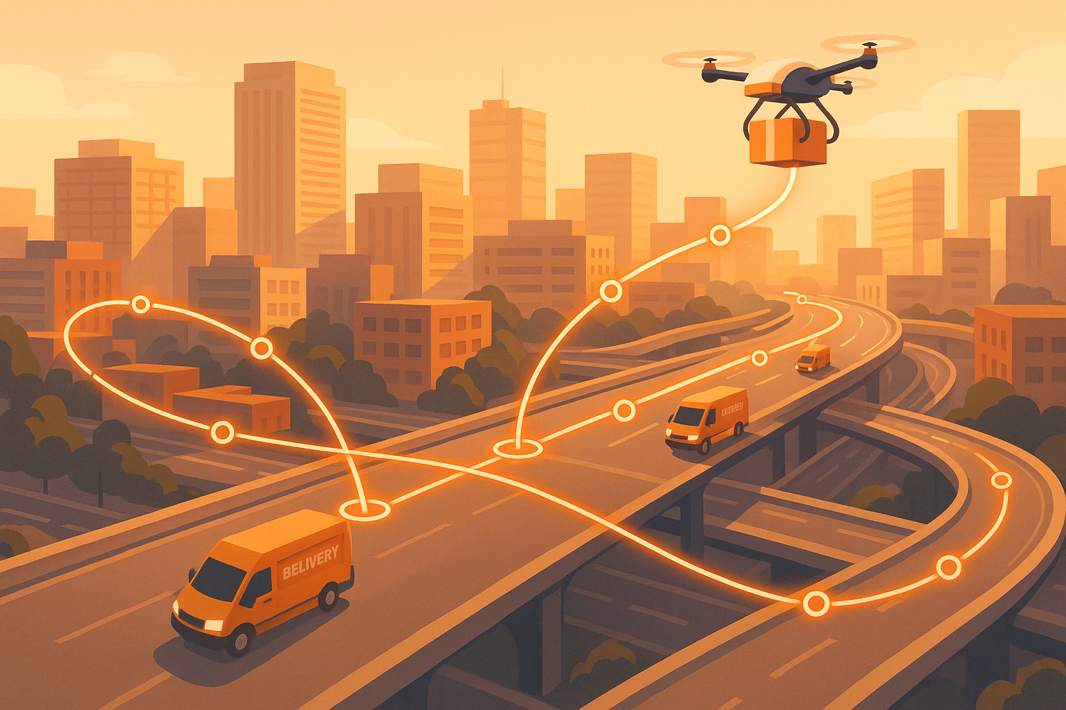
- Dynamic Route Adjustments: Tools like Routemize cut travel time by up to 25%.
-
New Technologies in GIS:
- Cloud GIS: Enables real-time collaboration and scalability for transit agencies.
- 3D Mapping: Improves route planning, especially in complex terrains.
- Data Sharing Across Agencies: Boosts coordination and efficiency.
GIS is helping transit agencies save time, cut costs, and provide better services by analyzing data and automating decisions. Whether it's optimizing routes, predicting maintenance needs, or improving community transit access, GIS is essential for modern transit systems.
Evaluating Public Transit Efficiency Using GIS and Spatial Optimization
Core GIS Features for Transit Management
Modern GIS platforms are reshaping how transit systems allocate resources, making services more efficient and improving overall operations. These tools provide the backbone for smarter, more effective transit management.
Route Planning and Optimization
GIS systems excel at analyzing traffic patterns and travel conditions to create better routes. By combining historical and real-time data, these platforms empower transit planners to make smarter decisions about where and how to allocate resources. For example, the Washington Metropolitan Transit Authority has upgraded its asset management system, resulting in improved maintenance schedules and a better experience for riders.
Some standout features for route optimization include:
- Analyzing traffic patterns to pinpoint peak congestion times
- Mapping historical accident data to avoid risky areas
- Incorporating live updates on road closures
- Using population density maps to predict demand
The addition of live updates ensures these routes remain effective and responsive to changing conditions.
Live Data Integration
In today’s transit systems, real-time data integration is non-negotiable. GIS platforms pull together live data streams - like vehicle locations, weather updates, traffic incidents, and infrastructure conditions - to provide a clear operational picture. A good example is Movia, the Danish transit agency, which uses this capability to enhance service delivery and streamline operations.
Spatial Analysis Methods
Taking things a step further, spatial analysis transforms raw data into actionable strategies for transit planning. Valley Metro in Phoenix, for instance, uses GIS tools to speed up data analysis, creating tools that save time for both staff and public users.
Here’s how different spatial analysis methods make a difference:
| Analysis Type | Application | Impact |
|---|---|---|
| Overlay Analysis | Combining datasets to find service gaps | Better planning for coverage |
| Network Analysis | Studying connection patterns between stops | More efficient route designs |
| Hotspot Analysis | Identifying high-demand areas | Smarter resource allocation |
| Buffer Analysis | Defining service radius zones | Improved accessibility |
These methods ensure transit systems are not only efficient but also responsive to the needs of their communities.
AI Integration in GIS Systems
AI is transforming GIS (Geographic Information Systems) by enhancing resource allocation through predictive analytics and real-time optimization. These advancements lead to smarter operations and better planning. Below, we’ll explore how AI is being applied to improve route optimization and maintenance planning.
Routemize AI Route Optimization
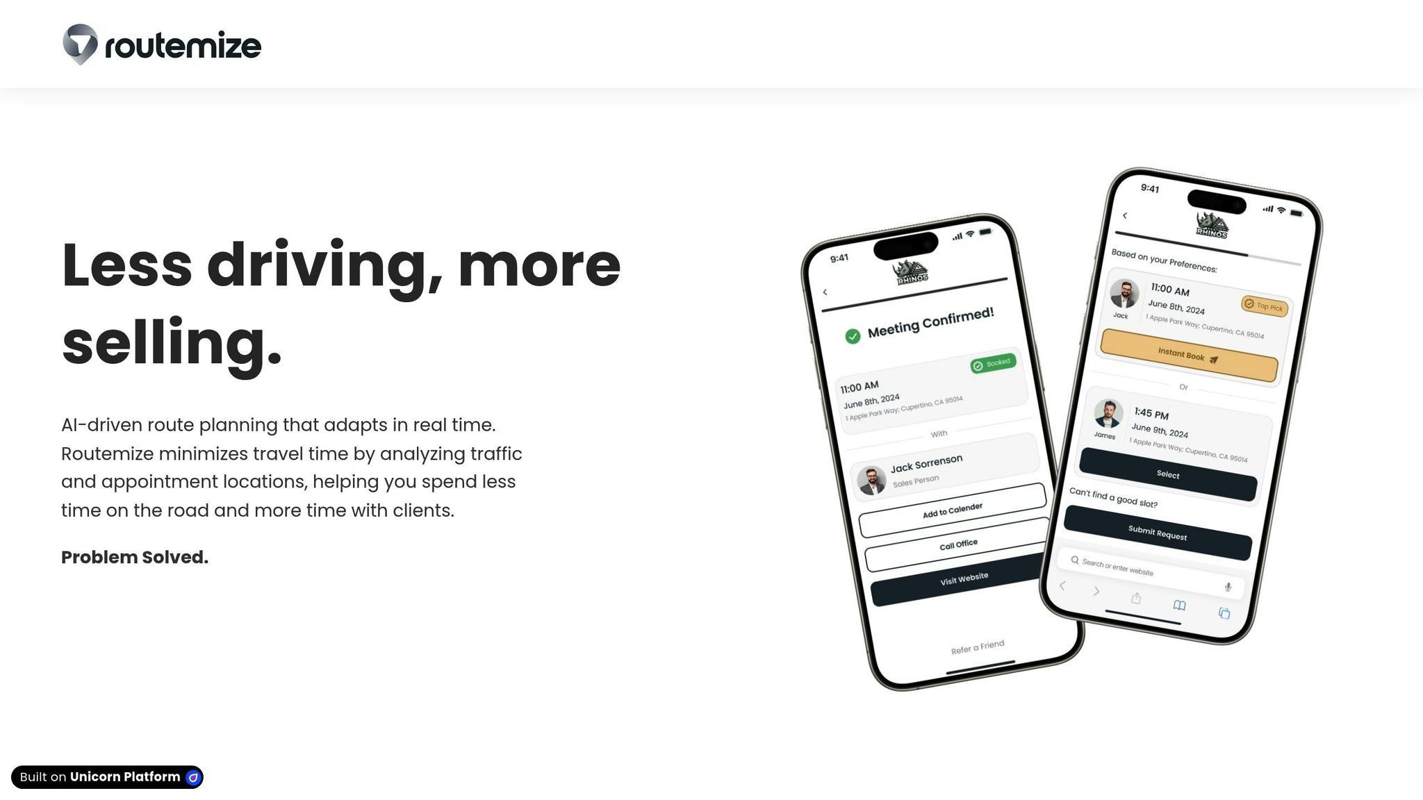
AI-driven route optimization is making transit systems more efficient. Take Routemize, for example. Their AI technology leverages real-time traffic data and appointment schedules to minimize travel time. By dynamically adjusting routes based on live conditions, it ensures resources are used effectively.
Here’s a quick look at the benefits:
| Benefit | Average Improvement | Application |
|---|---|---|
| Travel Time Reduction | Up to 25% | Real-time route adjustments |
| Fuel Consumption | 15% decrease | Optimized routing patterns |
| Vehicle Downtime | 20% reduction | Predictive maintenance |
| Service Reliability | Noticeable increase | Dynamic schedule adjustments |
Maintenance and Resource Planning
AI-powered GIS systems are revolutionizing how transit maintenance and resource planning are handled. For instance, the Bavarian State Ministry of Housing, Building, and Transport tested an AI system that analyzes road imagery to spot early signs of wear. This allows for proactive highway maintenance scheduling, reducing costly repairs down the line.
Digital twin technology also benefits from GIS data, using real-time geospatial information to adapt to ever-changing transit conditions. A great example comes from the US Army Corps of Engineers, which saves around $100 million annually by utilizing geospatial AI to pinpoint the best dredging locations in ports and shipping channels. AI also helps forecast maintenance needs, optimize vehicle deployments, allocate resources, and anticipate service demand shifts.
Another notable example is the Maricopa Association of Governments (MAG). Through its Arizona Sun Cloud data portal, built in collaboration with Ecopia AI, MAG processed transportation data across 30,000 square miles in just five weeks. This portal has shifted maintenance strategies from reactive to predictive, especially in areas like safety analysis and infrastructure condition assessments.
GIS Applications in Transit Planning
GIS has transformed transit operations by improving resource allocation and enhancing service delivery. Leveraging its core capabilities, GIS now plays a significant role in areas like business logistics, community transit access, and emergency response planning.
Small Business Route Management
Small businesses rely on GIS to streamline their operations by analyzing traffic patterns and infrastructure. This helps reduce fuel consumption, improve route efficiency, and enhance overall service coverage. By using GIS, businesses can strategically allocate vehicles and staff, ensuring smoother daily operations.
On a larger scale, GIS supports broader community goals by promoting fair and efficient transit access.
Transit Access and Coverage
GIS tools are essential for ensuring fair and effective transit access across communities. For example, WeGo Public Transit used GIS to redesign its services after the pandemic. By analyzing demographic data, employment hubs, and mobility trends, they tailored their transit offerings to meet community needs. Similarly, the U.S. Department of Transportation's Equitable Transportation Community (ETC) Explorer utilizes Census Tract data to pinpoint areas facing transportation challenges.
"DOT is committed to reducing inequities across our transportation systems to ensure that communities benefit from the safe, efficient, and sustainable movement of people and goods."
In Kent, Washington - recognized as one of the most ethnically diverse cities in the U.S. - GIS has been a key tool for creating equitable transit options. Heat maps are used to identify areas where transit investments could have the most impact, particularly for underserved populations.
Emergency Response Planning
GIS also plays a critical role in emergency response by integrating real-time data and conducting spatial analysis. After Hurricane Maria, the CrowdRescueHQ Puerto Rico Map was developed to coordinate relief efforts by mapping resident needs and available resources.
In San Diego County, ReadySanDiego.org uses GIS to alert residents, evaluate hazards, and manage resource deployment. The system incorporates data from California's Fire and Resource Assessment Program to assess wildfire risks and refine emergency response strategies.
sbb-itb-7020db0
New Developments in Transit GIS
The transit industry is embracing new GIS technologies that are reshaping how resources are allocated and operations are managed. These advancements build on existing GIS tools, making transit planning smarter and more efficient. By integrating these cutting-edge solutions, transit systems are moving toward a future of data-driven decision-making.
Cloud GIS Systems
Cloud-based GIS platforms are changing the game for transit agencies, offering flexibility, collaboration, and scalability. The market for GIS in the Cloud is expected to grow significantly, from $3.2 billion in 2023 to $7.5 billion by 2032.
Here’s how cloud GIS benefits transit agencies:
| Benefit | Impact |
|---|---|
| Cost Reduction | Subscription models replace large upfront investments |
| Real-time Access | Live data enables faster, informed decision-making |
| Scalability | Easily manage growing datasets and system demands |
| Collaboration | Teams can work together from anywhere with internet access |
With cloud platforms improving accessibility, transit agencies can also leverage advanced mapping tools to refine route planning.
3D Route Planning
3D mapping technology is revolutionizing how transit agencies plan routes, especially in areas with challenging terrain. These tools provide detailed visualizations of elevation changes and urban environments, offering a clearer picture for decision-making.
For example, the Chicago Metropolitan Agency for Planning (CMAP) has teamed up with the Illinois Department of Transportation to integrate AI-powered 3D mapping. This initiative uses 26 layers of land cover and transportation data to support 286 local Metropolitan Planning Organizations (MPOs).
In another case, the San Bernardino County Transportation Authority (SBCTA) partnered with Ecopia to map 17 transportation features across 17,000 miles of sidewalks in just three months. Traditionally, this process would take six months to cover only a fraction of that area - just 4.4% of the network. These examples highlight how 3D mapping can dramatically improve efficiency in transit planning.
Multi-Agency Data Sharing
Sharing data between transit agencies has become a critical tool for improving coordination and resource management. Several regions have successfully implemented systems that demonstrate the power of collaboration.
In the Puget Sound Region, the University of Washington Transportation Center equips transit vehicles with automatic vehicle location (AVL) devices. The data collected is integrated into Washington State DOT's Traffic Management System, enhancing traffic monitoring capabilities.
Similarly, the Portland Metropolitan Area uses a fiber optic network to connect Metro (Portland’s MPO), ODOT, the City of Portland, and Tri-Met. This system enables real-time data sharing and helps detect congestion along key corridors.
These advancements in GIS technology - cloud computing, 3D mapping, and cross-agency data sharing - are paving the way for transit systems that are not only more efficient but also better equipped to serve their communities. By embracing these tools, transit agencies can optimize resources and deliver smarter, more responsive services.
Summary
From the analysis above, it's clear that GIS tools are reshaping transit resource management by enabling smarter, data-driven decisions and improving service efficiency. Modern GIS platforms, now enhanced with AI features, can process massive amounts of spatial data, transforming how transit agencies operate.
| Area | Benefits | Impact |
|---|---|---|
| Data Analysis | Real-time processing | Better route optimization |
| Resource Management | AI-driven allocation | Lower operational costs |
| Service Reliability | Live tracking systems | Improved schedule adherence |
Building on earlier discussions about AI integration, tools like Routemize bring real-time route optimization to the table. These systems adapt to shifting conditions by analyzing traffic patterns and appointment locations, cutting travel time and allowing service providers to focus on what matters most: their clients.
Recent projects highlight the practical benefits of GIS. For instance, in February 2025, Equator Studios leveraged Washington DC LiDAR data to enhance spatial analysis, creating precise 3D models that improved route planning and optimization.
As outlined, innovations like cloud platforms, 3D mapping, and collaborative data sharing between agencies are paving the way for more efficient transportation systems. These advancements not only improve operational efficiency but also address community needs in a smarter, more resource-conscious way.
FAQs
How do GIS tools make public transit systems more efficient and effective?
How GIS Enhances Public Transit Systems
Geographic Information Systems (GIS) play a key role in improving public transit by offering tools to analyze and visualize complex data. Transit agencies use GIS to fine-tune routes, adjust for traffic patterns, and pinpoint areas with the highest demand for services. This makes it easier to allocate resources efficiently and design transit systems that truly serve the community's needs.
GIS also allows agencies to dive deeper into factors like population density and commuting habits, leading to smarter planning and better coverage. On top of that, these tools are invaluable during emergencies, helping transit vehicles find the quickest and safest routes. By incorporating real-time data into their operations, agencies can boost efficiency, make transit more accessible, and improve the overall experience for riders.
How does AI improve GIS tools for allocating transit resources?
AI brings a powerful edge to GIS tools in managing transit resources by enabling real-time data analysis, route planning, and traffic forecasting. These features work together to make public transportation more efficient, cut down on delays, and keep operations running smoothly.
With its ability to process massive amounts of geospatial data quickly, AI can spot trends, anticipate demand, and support automated decisions. This means resources are allocated more intelligently, services improve, and transit systems adapt better to changing conditions and passenger needs.
What are the cost and scalability benefits of using cloud-based GIS systems for transit agencies?
Cloud-based GIS systems offer a budget-friendly alternative for transit agencies by cutting down on the need for costly on-site infrastructure and reducing ongoing operational costs. These platforms enable agencies to adjust their data storage and processing capabilities as needed, avoiding hefty upfront investments.
By using cloud-based GIS, agencies benefit from real-time data access, which enhances teamwork and speeds up decision-making. These systems also provide the flexibility to adapt resources as conditions change, while advanced analytics and integration tools streamline operations and improve transit planning and management.